article_detail
Date Published: 01/09/2023
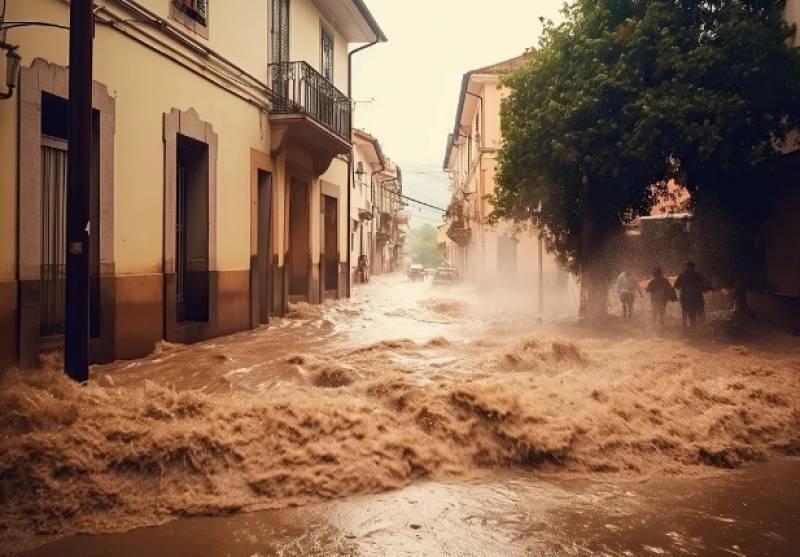
Spain braces itself for the worst storm of the year
Meteorologists are warning of a “historical and extraordinary” DANA across Spain this coming weekend

An Isolated Depression at High Levels (DANA) that is gradually approaching through the Gulf of Cádiz will make landfall in Spain on Friday September 1, resulting in torrential rain, hail storms and gale-force winds in practically the entire country.
"Indeed, the occurrence of a DANA is confirmed, which is going to be historic and extraordinary, typical of the months of October and November, but which due to the given meteorological circumstances has been brought forward," explains Francisco Martín, specialist in extreme phenomena at Meteored.
"The climatological autumn begins on September 1 and we are going to experience the first episode of abundant autumn Mediterranean-type rains. The storm last weekend that affected the Balearic Islands, Catalonia and the Valencian Community was still pre-autumn," he added.
While many storms of this nature go unnoticed, this weekend’s squall will be especially violent since the arriving DANA comes with very low pressure values and very cold anomalies. When it passes over Spain it’s going to find an extremely warm Mediterranean, all the ingredients necessary “to unleash a general storm of abundant and potentially torrential rainfall at some points."
Mr Martín also believes that the passage of the front through the southwest of Spain will cause a “secondary low” that will trigger a strong storm in the Mediterranean, most notably off the coasts of Murcia and Alicante.
“This secondary low is fuel for the fire because it brings water vapour from a very warm sea from the east. It will generate the necessary humidity for the development of storms and abundant rains.”
The forecasts are anything but certain as meteorologists wait to see how the DANA will behave but at the moment it looks like the eastern regions of Castellón, Catalonia, parts of Aragon, Navarra and the Balearic Islands will bear the brunt.
However, it’s likely that the DANA will “wander through the peninsula with a cyclonic movement,” so storms could form anywhere in Spain from Saturday September 2. What’s more, this unpredictable episode is tipped to last at least until Thursday of next week.
"We are going to have a widespread situation of rains, many of them stormy and some torrential. There will also be hail, a lot of lightning and strong surface winds," the expert concludes.
Join our Spain Weather Watch Facebook group for regular updates
Image: Meteored
Loading
Sign up for the Spanish News Today Editors Roundup Weekly Bulletin and get an email with all the week’s news straight to your inbox
Special offer: Subscribe now for 25% off (36.95 euros for 48 Bulletins)
OR
you can sign up to our FREE weekly roundup!
Read some of our recent bulletins:
Discount Special Offer subscription:
36.95€ for 48 Editor’s Weekly News Roundup bulletins!
Please CLICK THE BUTTON to subscribe.
(List price 3 months 12 Bulletins)
Read more stories from around Spain:
Contact Spanish News Today: Editorial 966 260 896 /
Office 968 018 268


