article_detail
Date Published: 27/07/2022
ARCHIVED - What will the weather be like in August?
Meteorologists predict a scorching August in Spain accompanied by coastal storms

The last week of July is upon us already, leaving behind the third-longest heatwave in Spain since records began, but weather experts have warned that this stifling episode could be but a glimpse of what awaits us next month.
According to Meteored’s Samuel Biener, August is likely to be dominated by more extremely high temperatures, although instability and heavy summer storms will certainly feature in parts of the country.
First fortnight
From next week, the mercury will remain above normal for almost all of Spain and the Balearic Islands, with temperatures averaging between 0.5 and 1.5ºC hotter than usual for this time of year.
On the other hand, regions like Galicia, the extreme south-west, south coast and the Canary Islands should experience fairly average August temperatures, but the meteorologist pointed out that these areas tend to be scorching at the end of the summer anyway.
Second fortnight
Few changes are expected in the second half of the month, with temperatures close to the norm predicted in the north-west, Cantabria and the Canary Islands, while elsewhere the mercury will continue to climb higher than usual.
The experts explained that, this far in advance, it’s not yet certain if Spain will be hit by another heatwave, but that this is entirely possible.
Rainfall
August will definitely see some rain, but it will be hit and miss, tending towards short but intense storms and waterspouts, most likely along the Mediterranean coast and in the second half of the month.
For the moment, rainfall across Spain is expected to be around average or slightly lower than average, although localised storms could still change all this within a matter of hours.
Warming waters
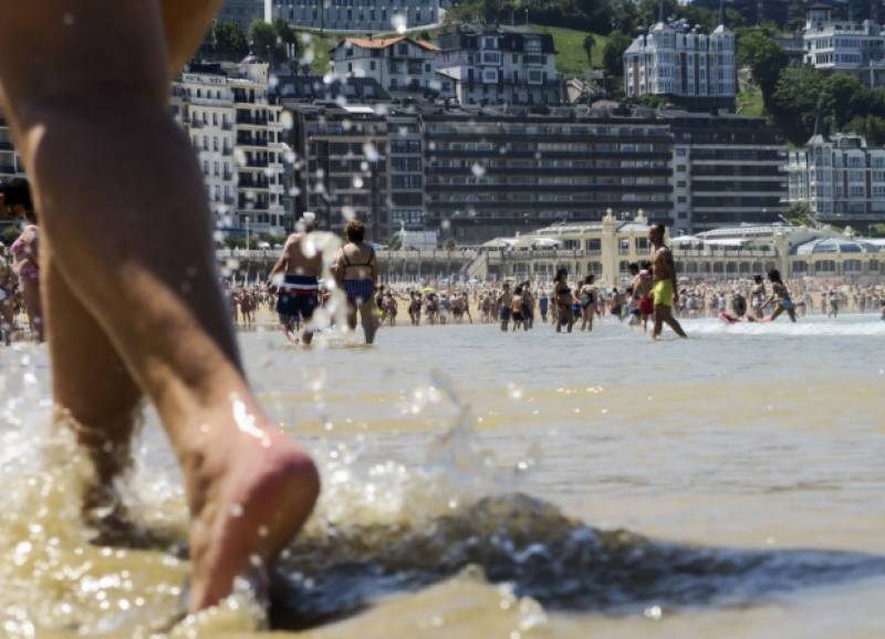
The July heatwave has devastated Spanish agriculture through wildfires and claimed the lives of more than 1,000 people, but the unexpected weather episode is also having an impact on its oceans, warming up the surface waters of the western Mediterranean considerably.
At the moment, a significant marine heatwave is taking place, with temperatures exceeding 30ºC in certain coastal points, which is around 6 or 7ºC higher than normal.
Moreover, the storage of vast amounts of heat in the water could actually worsen the episodes of torrential rain expected at the beginning of August – when the water heats up, it evaporates more and this leads to more rain and floods. However, the meteorologist reassured that for this to happen, a number of factors must occur together, and it is still far too early to tell if it will come to pass in summer.
Image: Archive
Loading
Sign up for the Spanish News Today Editors Roundup Weekly Bulletin and get an email with all the week’s news straight to your inbox
Special offer: Subscribe now for 25% off (36.95 euros for 48 Bulletins)
OR
you can sign up to our FREE weekly roundup!
Read some of our recent bulletins:
Discount Special Offer subscription:
36.95€ for 48 Editor’s Weekly News Roundup bulletins!
Please CLICK THE BUTTON to subscribe.
(List price 3 months 12 Bulletins)
Read more stories from around Spain:
Contact Spanish News Today: Editorial 966 260 896 /
Office 968 018 268


